Maps Data
The powerful geographic dataset is built on field data collection efforts, collaboration with partners, and open data sources, providing a tailored experience that meets each customer’s needs.
Open Data Source
At Map Zone, we build our dataset by aggregating information from various open data sources worldwide. We value these contributions and consistently prioritize respect for shared standards and data integrity in all of our operations. This global connection enables us to deliver a rich dataset with diverse regional coverage for users.


Proprietary Map Data Collection
At Map Zone, we actively collect and verify map data through field surveys using advanced technologies such as Trimble systems and LiDAR scanning. This approach enables Map Zone to build highly accurate geographic datasets while ensuring that map data is continuously updated and reliable, effectively supporting enterprise applications and systems.
Data From Partners
At Map Zone, we build our dataset by aggregating data from various open sources around the world. We are truly grateful for these valuable data sources, which come from many different regions and provide coverage and richness that would be impossible to achieve by any other means.





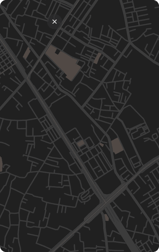
What is Basemap?
Base Map provides accurate basemap data, enabling clear map visualization with all essential geographic features. Built on this foundation, businesses can flexibly develop additional industry-specific data layers (traffic, logistics, real estate, transportation, etc.) to create maps tailored to their operational models and usage needs.
Book a Demo
Key Data
 Terrain (mountains, plains, etc.)Seas, rivers, lakes, canals, and waterwaysAdministrative boundariesResidential areas and urban zonesParks, forests, and protected areasTransportation road types (roads, railways, etc.)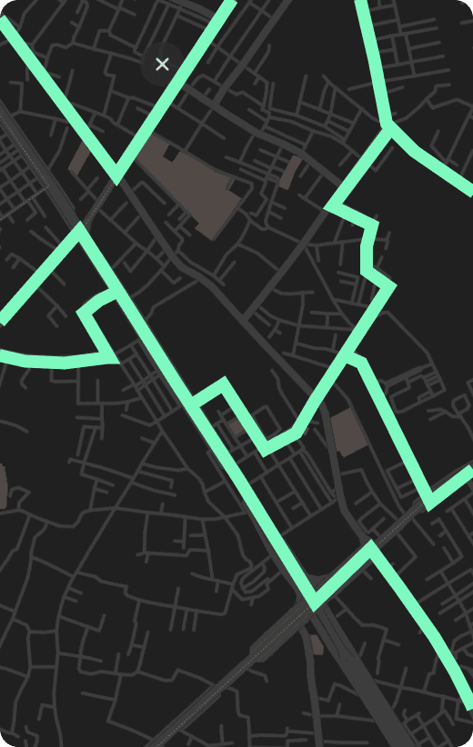
What is Transportations?
Transportation is a specialized traffic data layer that provides detailed information on infrastructure and traffic regulations across each road segment. This enables businesses to leverage accurate transportation data for navigation and more efficient operations.
Book a DemoKey Data
Road namesRoad classification (highways, provincial roads, urban roads, alleys, etc.)Permitted vehicle typesTraffic signsBridge, tunnel, and ferry information (traffic conditions, weight limits)Toll stations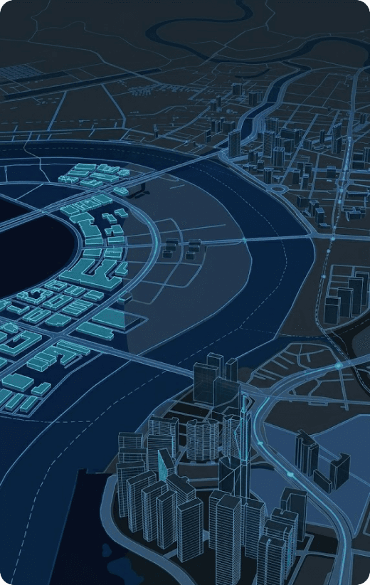
What is Location Intelligence?
Location Intelligence provides detailed location data, enabling more accurate identification and utilization of places. This supports address search and various location-based analysis needs more effectively.
Book a DemoKey Data
Place information and house numbers, etc.Schools, hospitals, stores, airports, etc.LandmarksCoordinates and precise geolocation pointsContact us
Start trading with powerful tools, real-time insights, and a secure platform for better profits
Have questions? Chat with our experts 24/7 for quick assistance
Call us anytime for quick support!
(+84) 908 012 950