

Maps Solutions
Mapzone provides flexible mapping solutions for various industries and businesses of all sizes. Easily customizable to operational needs, they help optimize costs and improve efficiency.
Fleetwork
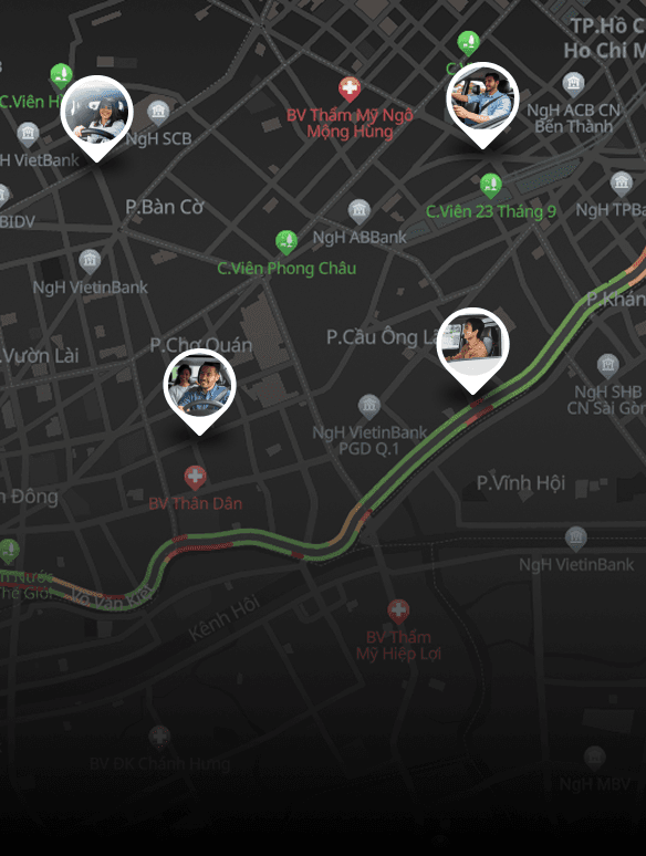
Comprehensive fleet management solution that enables businesses to monitor and optimize operations on a single platform. Powered by real-time data from GPS and sensors, the system tracks vehicle location, speed, status, driver behavior, fuel consumption, and technical condition. fleetwork.vn →
Real-time Monitoring
Track vehicle location, speed, status, and driver behavior via GPS & sensors.
Fuel Management
Reporting & Analytics
Maintenance Management
Safety & Compliance
Operation Optimization
Store Directory
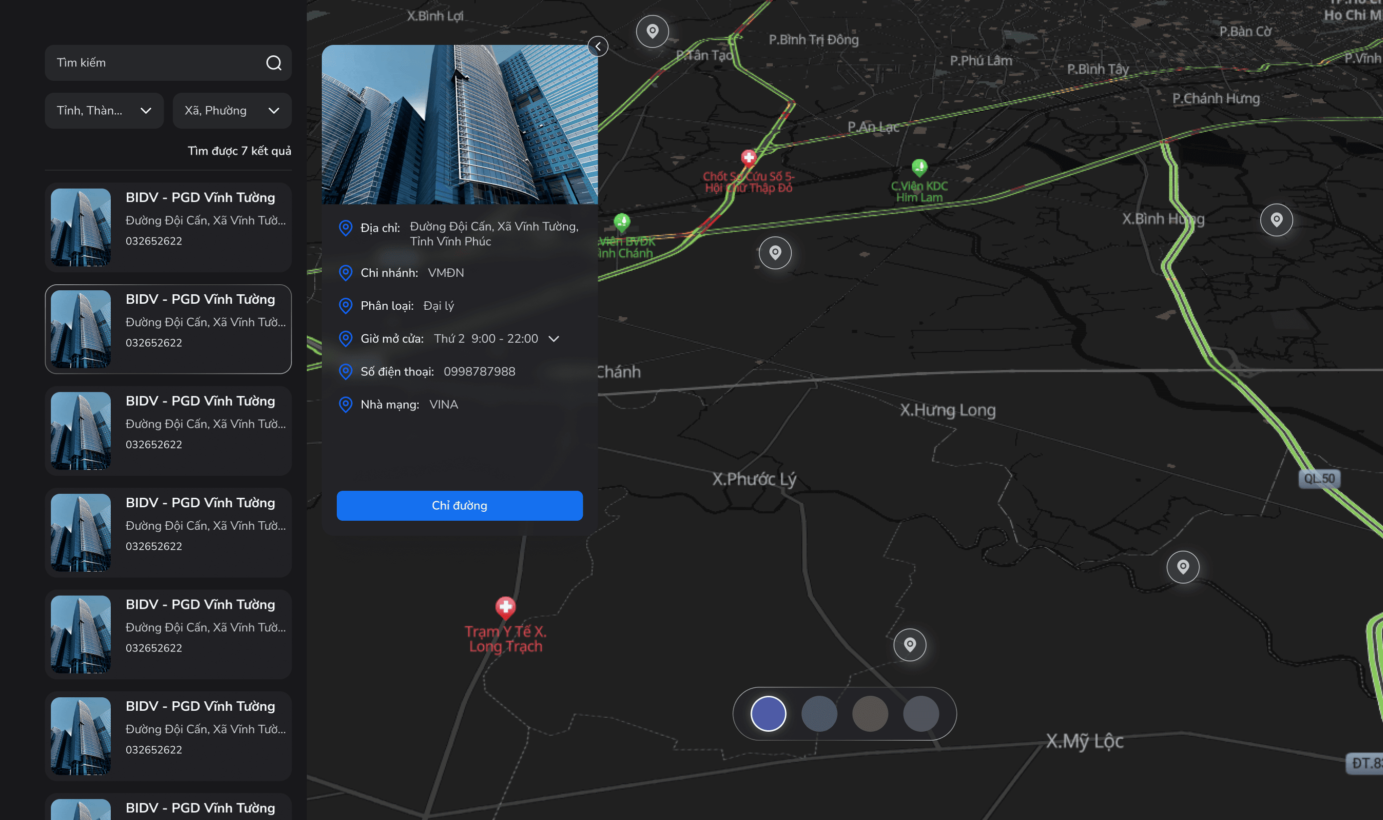
Store Directory is a solution that helps businesses display their store/branch network on a digital map, allowing for quick and easy website integration without any coding. As a result, users can easily find the nearest store and view addresses and detailed information in just a few steps.

Turn Excel Data Into An Interactive Map
Convert your Excel/CSV store list into a visually engaging, interactive map on your website.

Enhance Customer Experience And Boost Sales
Help customers find the nearest stores, view contact information, and get directions quickly.

Ultra-fast Website Integration
Easily embed the map by copying and pasting the embed code (no coding required).

Real-time Data Updates
Update store information in the dashboard, and the map will refresh instantly.
Smart City
Digital maps serve as a core platform for visualizing and managing urban data in a Smart City. From real-time traffic and camera–sensor systems to infrastructure management such as electricity, water, and transportation, all data can be visualized and analyzed directly on the map.
Real-time Traffic Monitoring
Display live traffic data from cameras and sensors to monitor congestion and road conditions.
Urban Infrastructure Management
Manage urban infrastructure such as electricity, water, lighting, and transport on a unified map.
Location & Place Search
Search for locations, public facilities, services, and points of interest across the city.
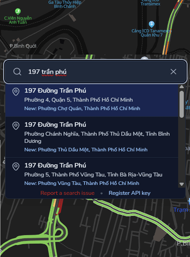
Smart Parking Management
Show real-time parking availability to help drivers quickly find nearby spaces.
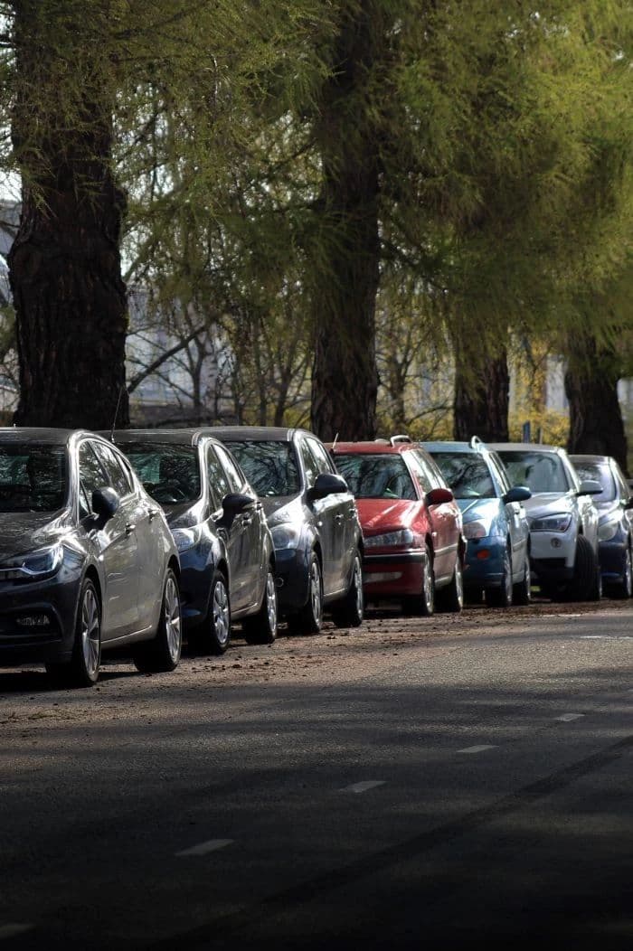
Incident & Alert Management
Detect and display traffic incidents or road closures in real time.

Logistics & Transport
TMS enables shippers to automate their existing processes and receive valuable insights to save time and reduce costs for future shipments.
Route Optimization
Automatically determine the most efficient routes to reduce travel time and fuel consumption.
Load Planning And Optimization
Freight Audit And Payment
Carrier Management
Order Management
Multi-modal Transportation Support
Integration With ERP/WMS
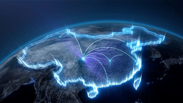
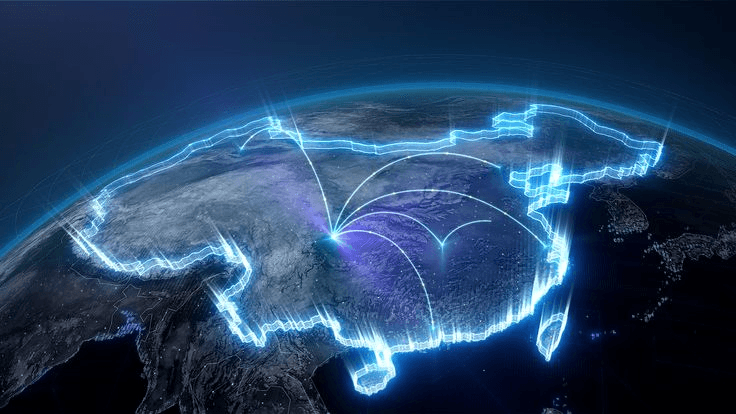
Digital Twin
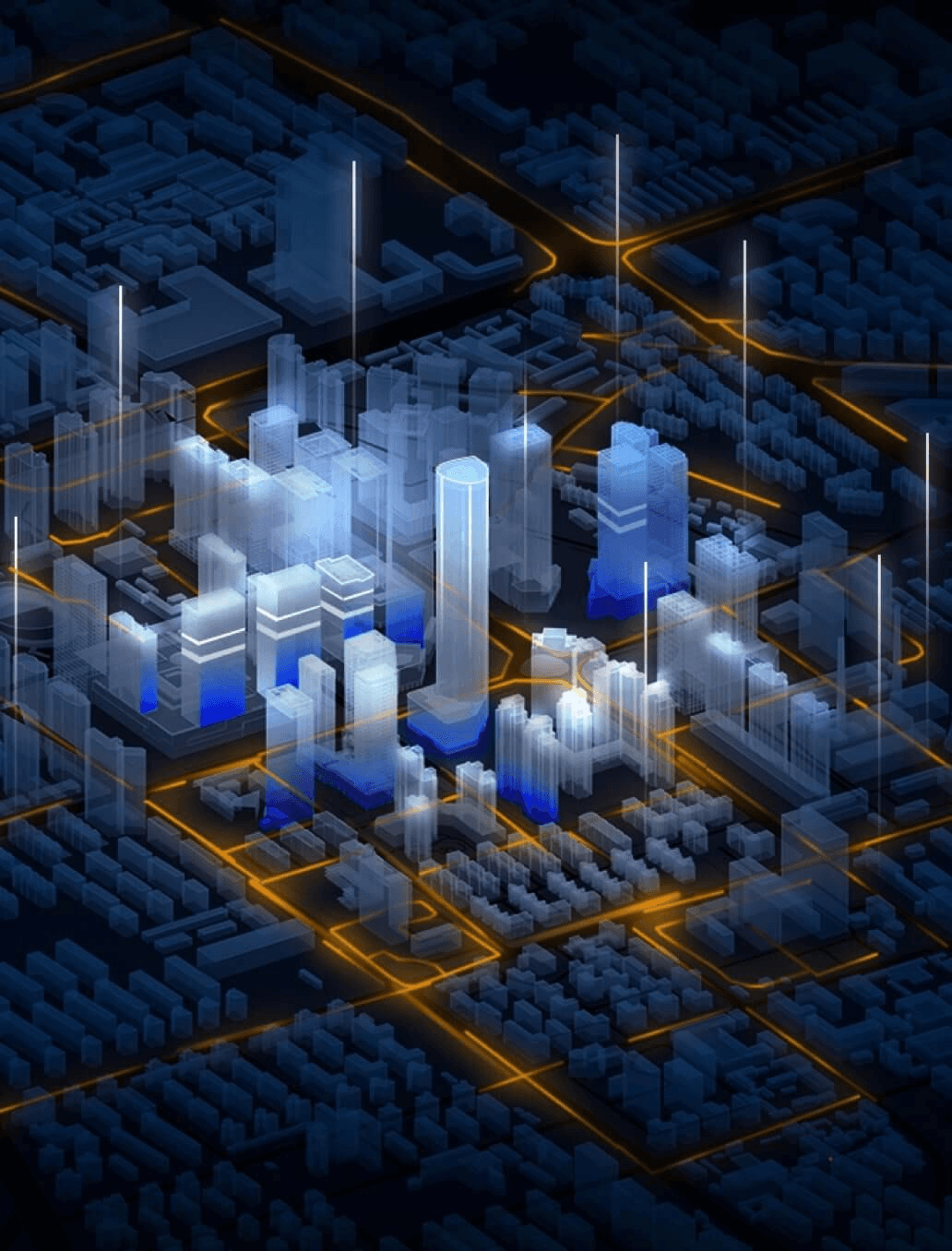
Digital Twin recreates urban spaces on a map-based platform, enabling cities to be visualized in an interactive 3D environment and allowing real-world activities to be simulated. As a result, managers and businesses can monitor, analyze data, and evaluate urban development scenarios more intuitively, supporting more effective planning and decision-making.

3D City Visualization
View the city in an interactive 3D environment on the map.
Urban Planning Support
Support better urban planning and development decisions.
Infrastructure Simulation
Simulate traffic and infrastructure scenarios before real deployment.
Data-driven Insights
Analyze urban data visually to improve city services.
Contact us
Start trading with powerful tools, real-time insights, and a secure platform for better profits
Have questions? Chat with our experts 24/7 for quick assistance
Call us anytime for quick support!
(+84) 908 012 950