What would we do with
places data?
Place data describes the real-world location of an Address or a Point of Interest for easy reference or search.
Collect Data
We utilize open data sources to collect and summarize address data.
Analyze Data
Use address data for insights in planning, logistics, and emergency response
Convert Data
Conversion of data structures from multiple sources into general map standards professionally
Geocode Data
Convert address data into precise coordinates for accurate mapping and spatial analysis
Explore Our Coverage Map
Coverage Map
Interactive coverage map visualization will be displayed here
About Address data
Enhance your decision-making with accurate address data, seamlessly integrated into interactive maps and real-time analytics using Map Zone's platforms.

Accurate address validation
Ensure precise address validation with our advanced tools, guaranteeing error-free location data for seamless operations and delivery accuracy.

Detailed Address Data
Access comprehensive enriched address data, empowering your business with detailed location intelligence for better decision-making.

Professional data processing
Leverage our expert data processing services to transform raw address information into actionable insights, optimized for efficiency and reliability.

Open-Source data Integration
Use open sources such as Open Street Map, Overture Maps and other sources to enrich our data regularly.
About Point of Interest data
Point of Interest data, including locations with addresses such as schools, hospitals, shopping malls, markets, and many other types of locations.
Accurate address validation
Ensure precise address validation with our advanced tools, guaranteeing error-free location data for seamless operations and delivery accuracy.
Detailed Address Data
Access comprehensive enriched address data, empowering your business with detailed location intelligence for better decision-making.
Professional data processing
Leverage our expert data processing services to transform raw address information into actionable insights, optimized for efficiency and reliability.
Open-Source data Integration
Use open sources such as Open Street Map, Overture Maps and other sources to enrich our data regularly.
Unlock Seamless Mapping Power
Enhance your decision-making with accurate address data, seamlessly integrated into interactive maps and real-time analytics using Map Zone's platforms.
Geocoding and Reverse Geocoding
Address data is converted into geographic coordinates (geocoding) for mapping, while POI data supports reverse geocoding to identify nearby landmarks or businesses from coordinates.
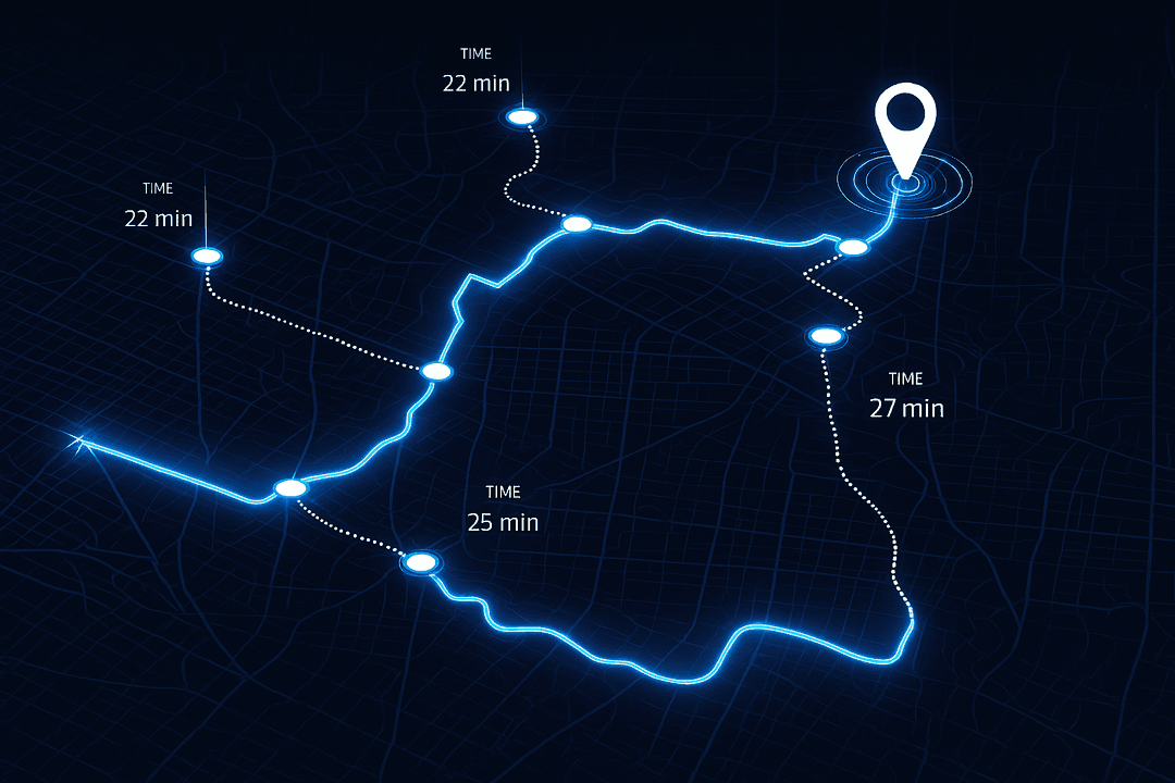
Route Tolls
Integrate place data (e.g., toll booth locations, service areas) with traffic and toll cost data to suggest routes that balance travel time, toll expenses, and proximity to desired locations (e.g., gas stations or rest stops).
Marketing and Business Intelligence
Businesses use POI data to analyze consumer behavior near specific locations (e.g., stores, malls), while address data supports targeted marketing campaigns based on geographic demographics.
Location-Based Services (LBS)
Apps use POI and address data to offer personalized services, such as recommending nearby businesses (e.g., cafes, shops) or geotargeted advertisements based on a user's location.
MAP ZONE provides all you need for location-powered experiences
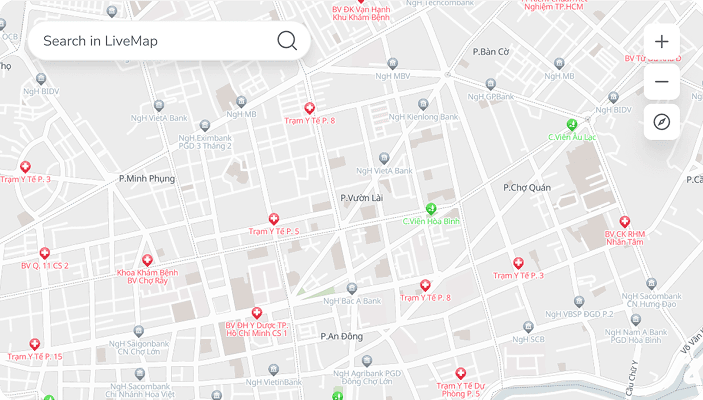
Address

Our address data is aggregated from open sources distributed globally.
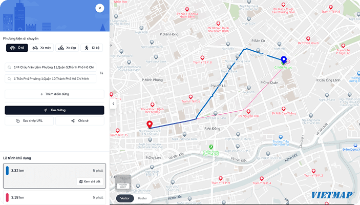
Transportation
Providing a comprehensive representation of infrastructure and the movement of people and vehicles worldwide.
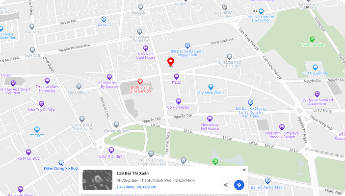
Place
The data includes point-based representations of real-world entities such as schools, businesses,...
Contact us
Start trading with powerful tools, real-time insights, and a secure platform for better profits
Have questions? Chat with our experts 24/7 for quick assistance
Call us anytime for quick support!
(+84) 908 012 950